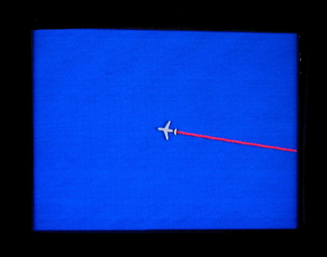
The computerized realtime flight map on our plane showed just how remote and isolated Easter Island is. The small triangular island measures only 21 kms long by 16 kms wide and is just 511 metres at its highest point. Easter Island is about 3000km from the nearest populated point (Tahiti and Chile).